RESTORATION OF
2006
Larry Tippin and Sheila Morrison restored a
significant portion of the
This book was prepared to document our restoration
efforts. Included in this book are:
This narrative discussion of our restoration,
Maps and description of the layout of the cemetery,
Listing of legible tombstones,
Discussion of individuals buried here and other
narratives, and
Photos of a sample of restoration.
Also included is a CD with digital photos of all
the stones in the cemetery and other info.
INITIAL ASSESSMENT
An initial assessment of this cemetery was
performed during February and March of 2006. We photographed all the stones we
could see and made a rough map of the cemetery. According to the Association
Trustees, plat maps of the old part of the cemetery have been destroyed or
lost. Part of our restoration involved identifying and mapping the stones in
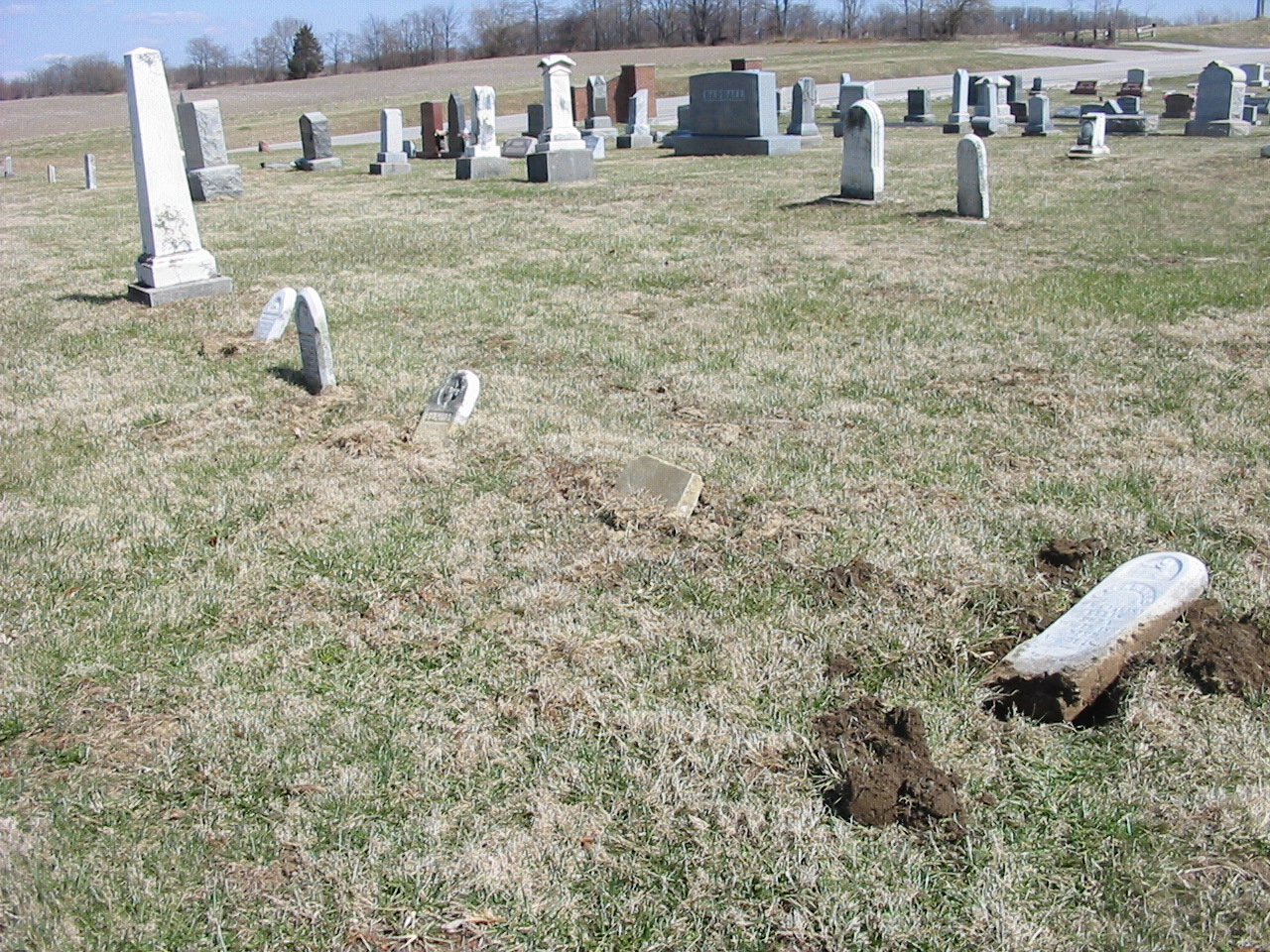
the old part. The restoration efforts focused primarily on the tombstones in
the old part of the cemetery which had fallen over or were broken and those
which were in immediate danger of falling or breaking. This cemetery was
vandalized during 2005. Some of the damage occurred then, but a good portion of
the stones that were repaired had fallen and/or broken due to natural
deterioration and previous restoration efforts that were not performed in
accordance with approved practices, in many cases doing more harm than good. We
identified about 70 stones that had fallen off their base, had been broken or
were otherwise in need of immediate attention.
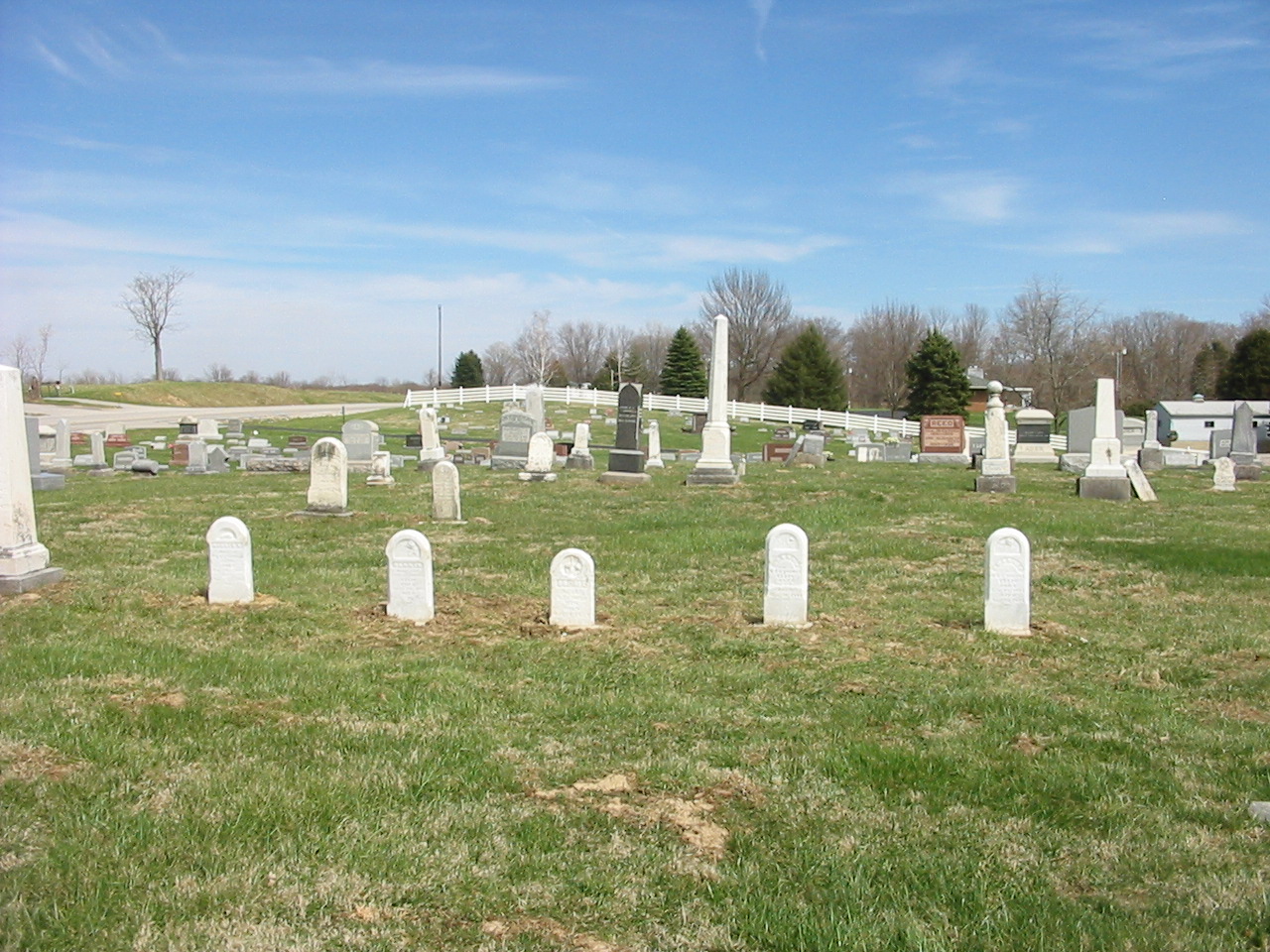
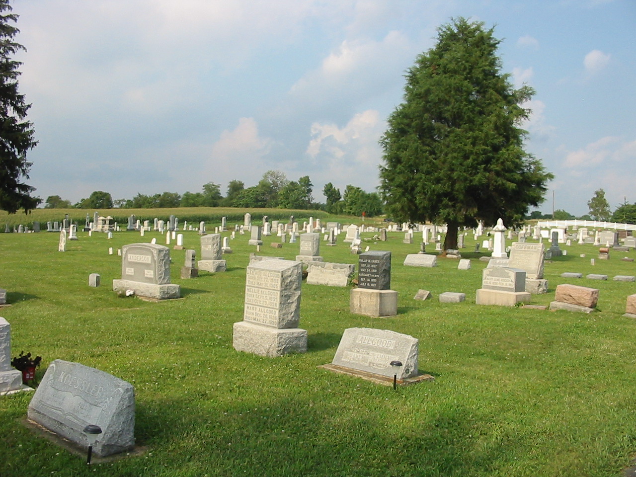
LAYOUT OF CEMETERY
A more detailed description of the layout of the
cemetery is included later in this book. Briefly, this cemetery is divided into
two major portions, the new part which is east of the main driveway and the old
part which is west of the main drive. The old, or west, part is made up of
several different sections. The original cemetery consisted of one acre in the
northwest corner of the cemetery. This acre was deeded to the "citizens of
Bainbridge" by Lewis Shell October 25, 1851. Two additions were added by
members of the David Ader family just west of the original part in 1868 and
1869. In 1899 Belinda Ader, widow of David Ader, granted the remainder of the
cemetery to the Association.
Since there is no current map or plat of the
original part of the cemetery, we created a map of the currently known
tombstones and markers. We determined it best to number all the stones and
markers on the west side of the cemetery. We started at the southwest corner of
the cemetery and went north on the western most row, assigning a number to each
stone and marker. We then went one row over to the east and numbered that row
from south to north and continued this process until all stones and markers in
the cemetery was numbered. We have taken digital photos of all the stones in
this cemetery. The numbers assigned to the pictures correspond to the plat
numbers we assigned.
We then created a plat map of the stones using the
numbers mentioned above. We also created another map of the cemetery by
overlaying those numbers onto the plat of the cemetery, if applicable. Thus,
the numbers on the south side of the west part of the cemetery fall within
platted and mapped areas as maintained by the cemetery association, while the
numbers to the north of west part, which is generally the original acre of the
cemetery; do not correspond with any plat of the cemetery. The numbers we
assigned for those stones are the only record of the burials that are marked
with a stone or marker.
We have included a listing of the tombstone
inscriptions. The numbers assigned correspond to the number in the plat map
mentioned above. There are several listings. There is a listing for the west
part of the cemetery and the east part. There is also an alphabetical listing
of all known tombstones for the entire cemetery (both sides).
In order to obtain an historical perspective of the
cemetery, we performed extensive research of the individuals buried here. Our
research focused primarily on the burials on the west, or old, side of the
cemetery. It is always interesting to find out a little bit about the original
pioneer settlers of the area. The results of our research are located near the
end of this book.
We have also included a few before and after photos
of our restoration.
RESEARCH AND HISTORICAL INFORMATION
We feel an important part of the restoration of a
cemetery is to research the individuals buried there. We do this for several
reasons. In this cemetery, there are several stones that are not legible, or
are difficult to read. In many cases we can verify the dates on the stone
through census records. For instance, there may be a tombstone where the death
date is either 1868 or 1888, and the age at death was 15 years. If we can
verify through the 1880 census records that individual was born about 1873, we
can conclude the death date is 1888. We often use the same methodology to
determine the name or other inscriptions. We also research marriage records,
military records, etc. to obtain information.
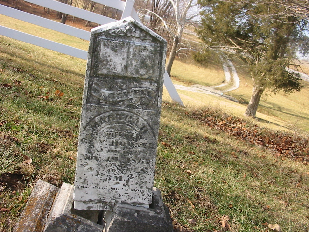
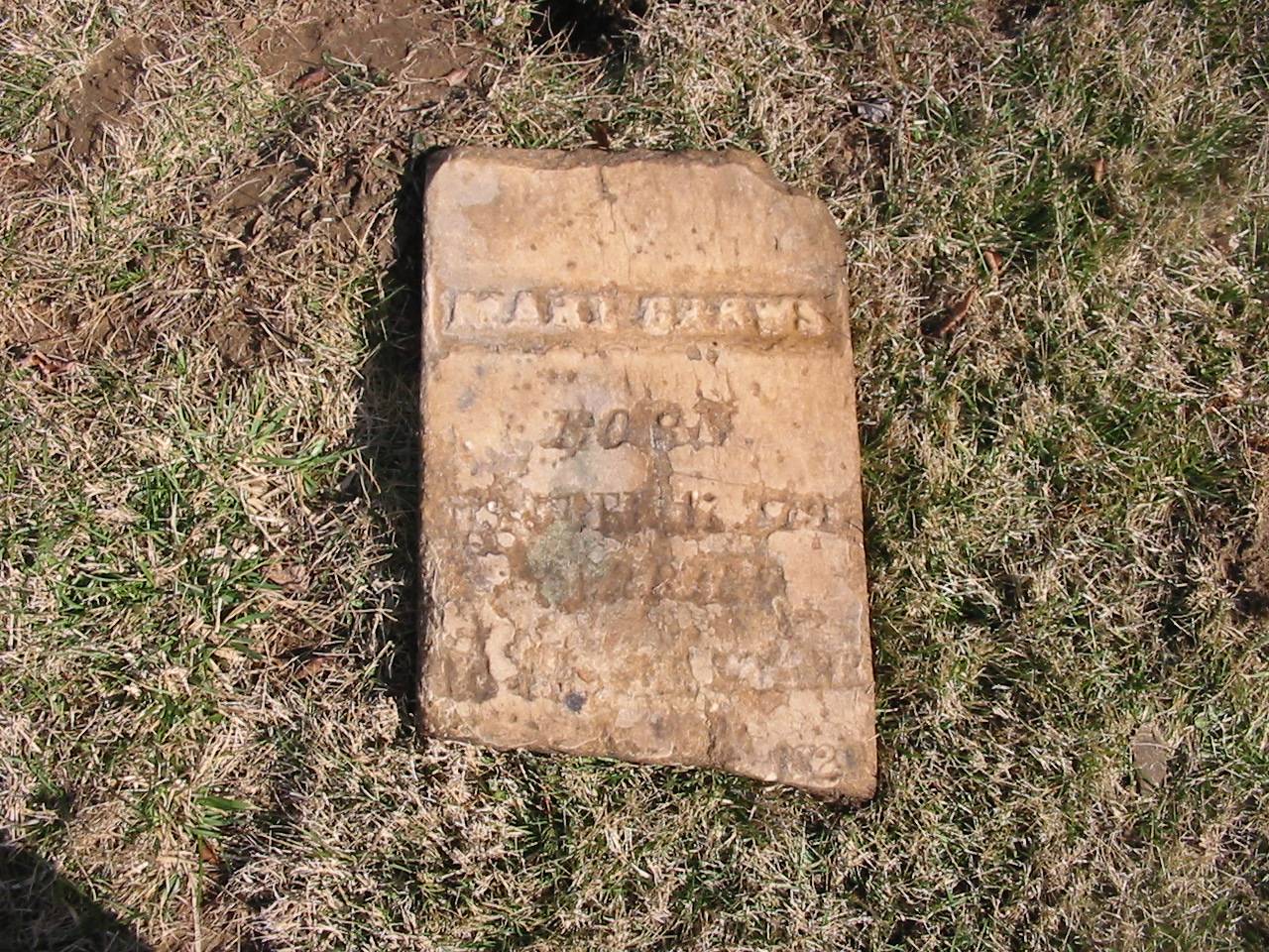
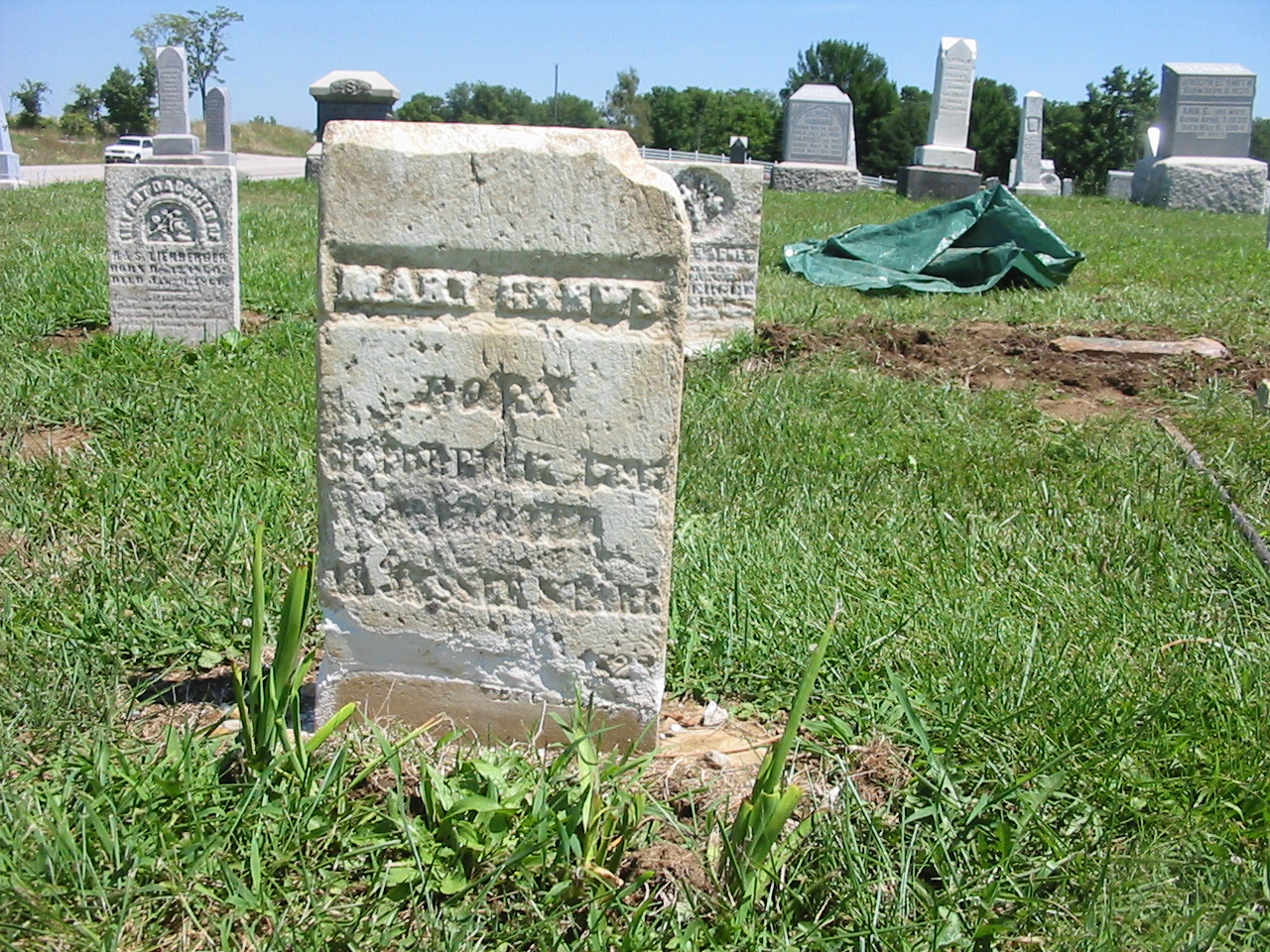
Another good example of how important research is
would be the stone of Marmaduke Darnall. This stone is number 111 on the west
side (old part) in our plat map. This stone is very badly deteriorated. We
could determine there are three different individuals inscribed on this stone,
all of which appeared to be children of William and Emelia Darnall, who are on
the next stone to the south. We were able to verify in the 1850
RESTORATION
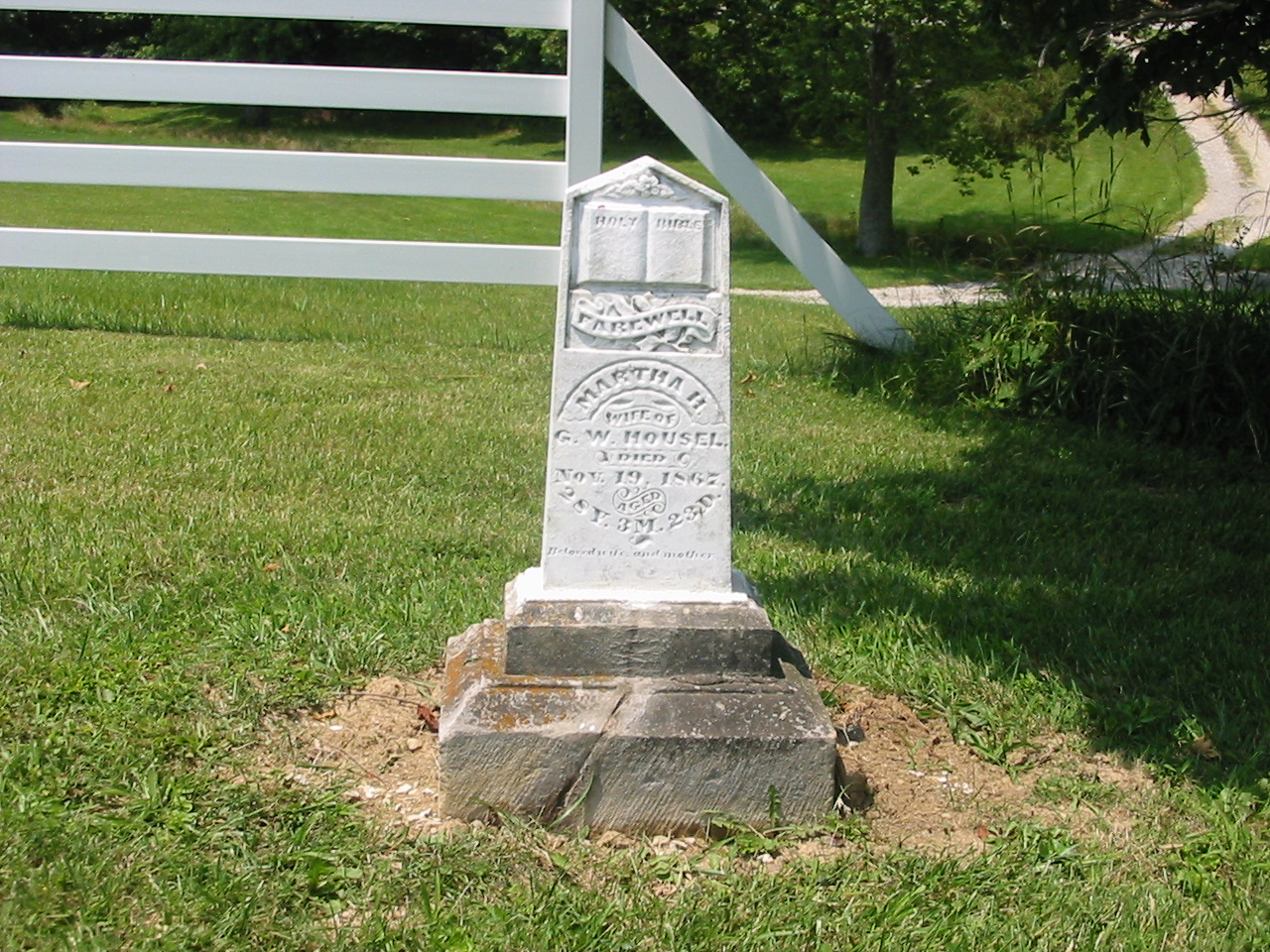
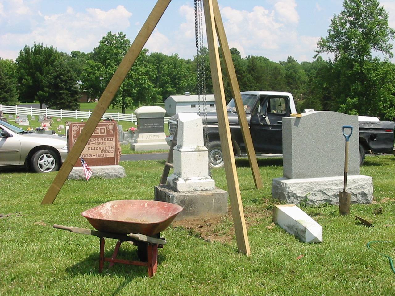
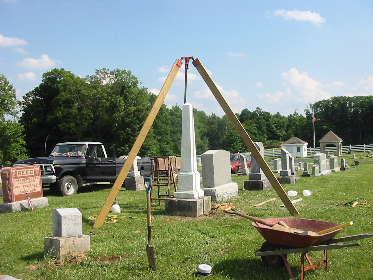
We restored the 70 stones we had noted in our
initial assessment as those in the most need of repair. We also cleaned and or
repaired an additional 30-40 stones not listed in our initial assessment. In
addition, we were able to locate and identify four or five stones that were not
visible during our initial assessment, but were just below ground level. A
detailed description of our restoration work is included later in this book.
(c) 2006
Information contained herein may be used for
research or genealogy purposes, but may not be published in print, electronic
or other form without the express permission of the authors.
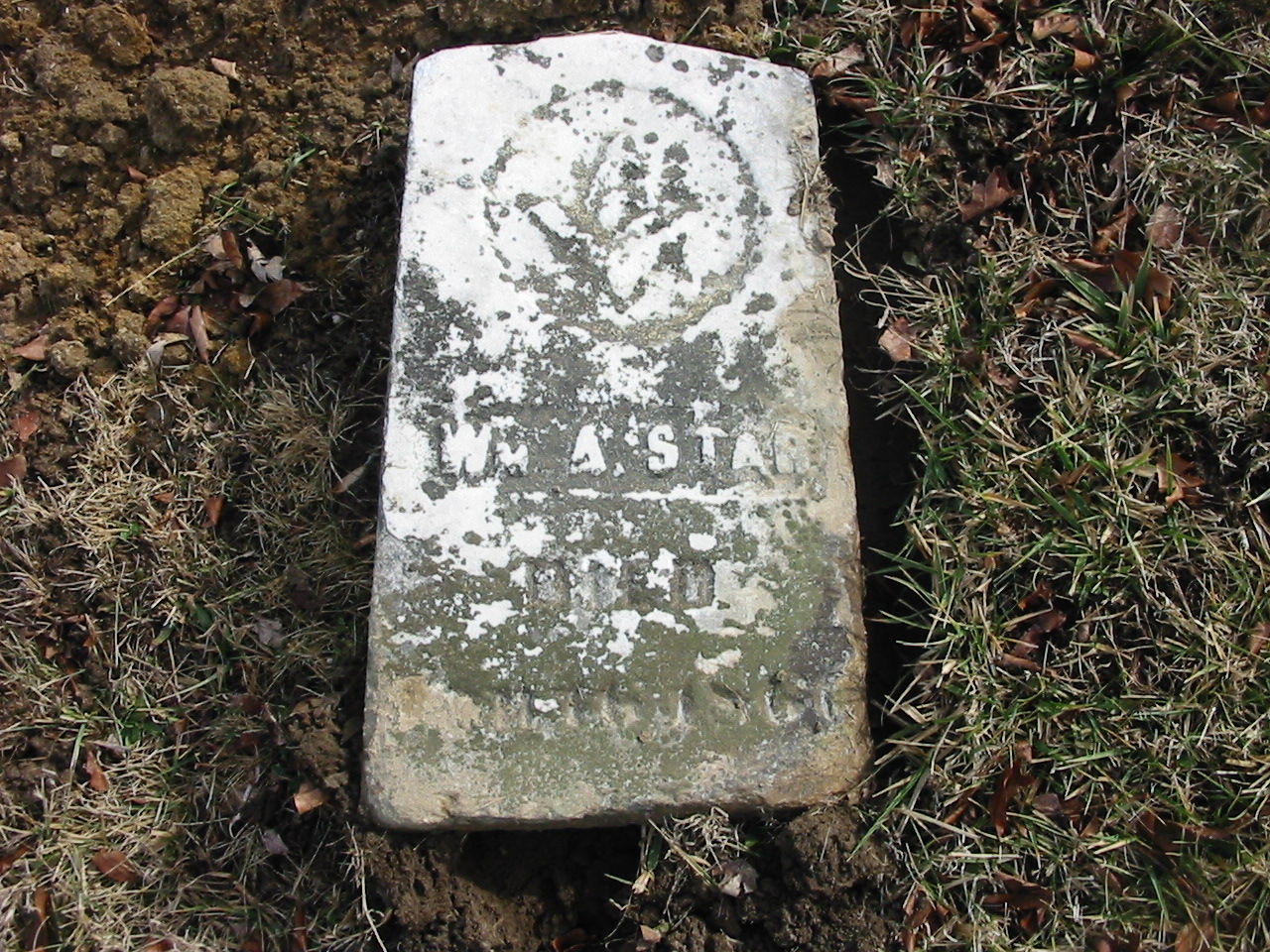
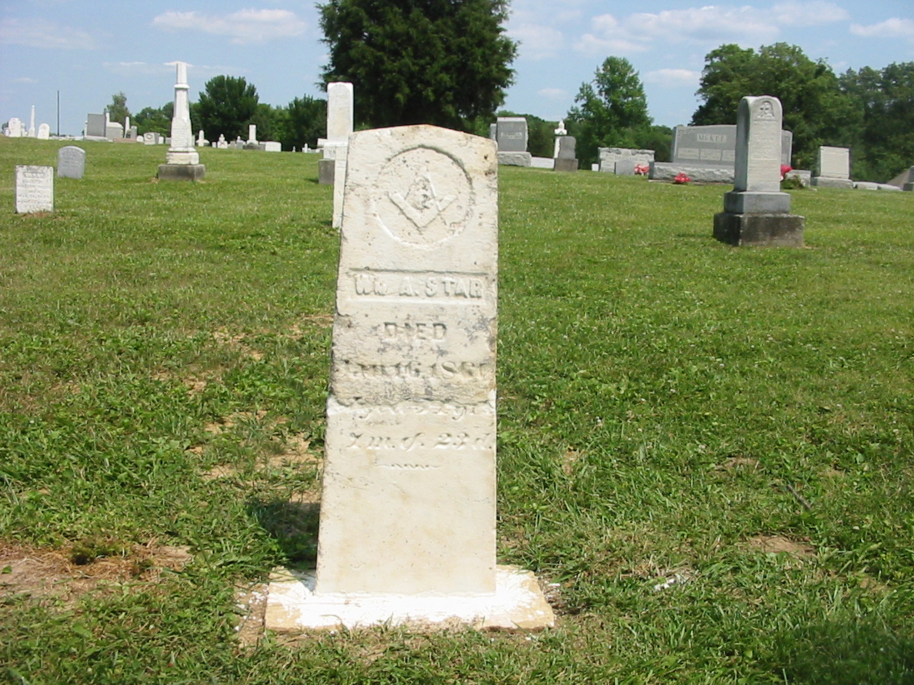
View photos of restoration of Bainbridge cemetery:
Resetting James and Sarah
Allen